






DC Metro Transit - Free

Descrizione di DC Metro Transit - Free
DC Metro Transit (Free) is an ad-supported mobile interface for WMATA (Metro and Bus) and other local agencies. A paid, ad-free, version is also available.
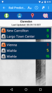
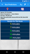
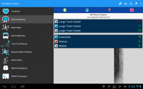
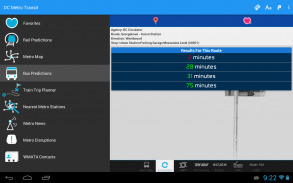
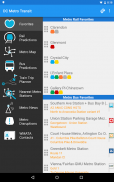
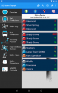
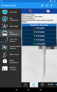
Get real-time predictions for DC Metrorail, Metro Bus, Arlington Transit (ART), DC Circulator, PG County - The Bus, Fairfax CUE, GMU Shuttle, and UMD Shuttle. Keep track of your favorite stations and sort them however you like!
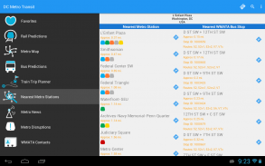
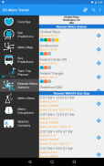
Find your way to the nearest Metrorail stations and WMATA bus stops by using your devices GPS with the “Nearest Stations” feature. Once you have your results, one click will get you turn by turn directions with Google Maps.
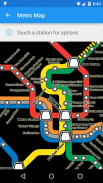
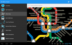
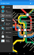
Use our interactive map of the Metrorail system to find your way around. Having trouble finding a station entrance?
Click a station on the map and choose “Street View” and have a look around.
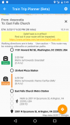
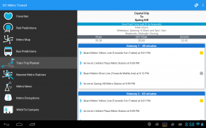
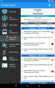
The train trip planner will help you to plan your station-to-station trip, help you with transfers, and provide time, distance, and fare estimates for your trip.
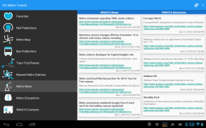
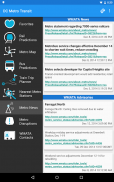
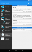
Keep up to date with the latest News, Advisories, and system outages that may impact your commute.
**If you run into issues, please email the support email address. The support email is monitored daily and is the fastest way to get a resolution!**Metro Transit DC (Free) è una interfaccia mobile ad-supported per WMATA (metropolitana e autobus) e di altre agenzie locali. A, senza pubblicità, versione a pagamento è inoltre disponibile.
Get previsioni in tempo reale per DC Metrorail, Metro Bus, Arlington Transit (ART), DC circolatore, PG County - The Bus, Fairfax CUE, GMU navetta, e UMD Shuttle. Tenere traccia delle vostre stazioni preferite e ordinarle come più vi piace!
Trova la tua strada per le stazioni più vicine Metrorail e bus WMATA fermate utilizzando i dispositivi GPS con la funzione "stazioni più vicine". Una volta che avete i vostri risultati, un click ti porterà turno da indicazioni di svolta con Google Maps.
Utilizza la nostra mappa interattiva del sistema Metrorail di trovare il modo per aggirare. Avendo difficoltà a trovare un ingresso della stazione?
Fare clic su una stazione sulla mappa e scegliere "Street View" e dare un'occhiata in giro.
Il pianificatore viaggio in treno vi aiuterà a pianificare il vostro viaggio da stazione a stazione, aiutare con i trasferimenti, e di fornire il tempo, la distanza, e le stime tariffe per il viaggio.
Tieniti aggiornato con le ultime notizie, Avvisi, e interruzioni di sistema che possono influenzare il vostro tragitto.
** Se si esegue in problemi, inviare un'e-mail all'indirizzo di posta elettronica di supporto. L'e-mail di sostegno viene monitorata giornalmente ed è il modo più veloce per ottenere una risoluzione! **


